
Reading Morgan County Parcel Layers
The county ArcGIS Parcel Viewer is the local starting point for parcel maps. Its layers load through live JavaScript. A saved or text-only view may show little. Owner, zoning, flood, aerial, and adjacency layers may not all be exposed either. Morgan County map work draws on several records. Tax-map geometry comes from the Assessor and the state Tax Division, annual owner and value attributes from assessment data, addressing from GIS, and recorded plats from the Clerk. Keep those authorities straight.
| Layer | What It Shows | Use |
|---|---|---|
| Surface tax parcel | Tax-map geometry and map/parcel key | Assessor and state Tax Division |
| Owner and value attributes | Annual assessment roll details | WV Property Assessment |
| Map card and land book | Parcel sketch or year/book assessment entry | Morgan County Assessor |
| Plat and subdivision | Recorded lot layout and planning review | County Clerk and Planning Commission |
| Road and address | E-911, road naming, and address context | Morgan County GIS/addressing |
| Floodplain and stormwater | Review context for development | Planning Commission and other reviewing agencies |
A map pin is only the first step. Owner and value fields live with the Assessor. The Clerk holds the recorded deed or plat, and Planning keeps improvement-location or subdivision files. Morgan County GIS does not maintain cadastral parcels. That split explains why a road address can look current while a tax polygon still needs separate confirmation.
Morgan County GIS and Addressing Roles
The GIS and addressing office wears several hats. It supports E-911 communications and emergency services. Road naming, address assignment, street signs, and planning data also fall to this office. Its data comes from plats, deeds, and public sources. The county calls it inventory use only, not a title search, survey, appraisal, or zoning verification. New addresses are issued here, and road-name approvals route through the County Commission.
Parcel edges sit in a different lane. The tax maps belong elsewhere. The Assessor and the state Tax Division maintain them as surface tax maps. Keep that split in mind. A GIS road layer, a tax parcel, and a recorded plat will not always line up in Morgan County property records work. The county office helps with an address or road issue; the Assessor is the contact for parcel-card and tax-map questions.
Morgan County GIS and Addressing lists the official forms and disclaimer.
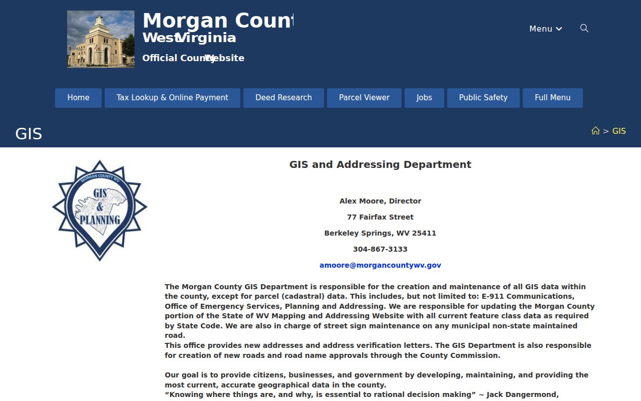
County forms handle addresses; the Assessor keeps tax parcels.
Six Morgan County Parcel ID Parts
West Virginia's statewide parcel key has six parts. They are the county code, district code, map number, parcel prefix, parcel suffix, and special ID. County and district codes are numeric. Other pieces may use letters and numbers. Morgan County result rows can show a full ID without hyphens, even though statewide examples are hyphenated. Copy the identifier exactly from the result. Guessing missing digits from a map label invites errors.
The assessor form breaks a key into Map Number, Parcel, and Sub-Parcel fields. A map card uses District and Map/Parcel instead. Those pieces link the map, the tax roll, and Clerk references, but they never replace the legal description. If a street address is old, rural, or listed under Bath rather than Berkeley Springs, the tax district and parcel ID are often better cross-checks.
Locate a Morgan County Parcel by Address
Start with the best address you know. Confirm the candidate on the WV Property Assessment search. The GIS display orients the search. The assessment result supplies the map and parcel key, owner field, acreage, value, legal description, and deed reference. If the ArcGIS interface offers no usable address search, use the assessor's Street Name field instead. Then return to the map with the resulting parcel key.
- Search the Morgan County Parcel Viewer or the Assessor's Street Name field.
- Record the county, district, map, parcel, and sub-parcel from the assessment result.
- Compare its situs and legal description with the map and any recorded plat.
- Use the County Clerk for the deed and Planning Commission for permit or subdivision files.
- Parcel number
- The map and assessment key used to match one tax parcel.
- Plat
- A recorded map that lays out lots or a subdivision.
- Lot and block
- A platted legal description tied to a recorded layout.
- Metes and bounds
- A land description using courses, distances, and boundary calls.
Morgan County Map Cards and Land Books
The Morgan County map-card viewer uses District and Map/Parcel controls. The Assessor provides copies at the office. The Land Book Viewer asks for a year and a book or district. Both add tax-year context to a map result. They help most when a parcel card is missing from the general GIS viewer. These remain assessment resources, not legal surveys.
Compare the card's map key and legal description against the deed and a recorded plat. Older parcels may carry abbreviated subdivision phrases. "Part of parcel" wording also appears. The WV GIS Clearinghouse offers free GIS downloads. Download data and tax-year attributes should be checked against the current Assessor record before any Morgan County land decision.
Open the Morgan County map-card viewer to see its parcel controls.
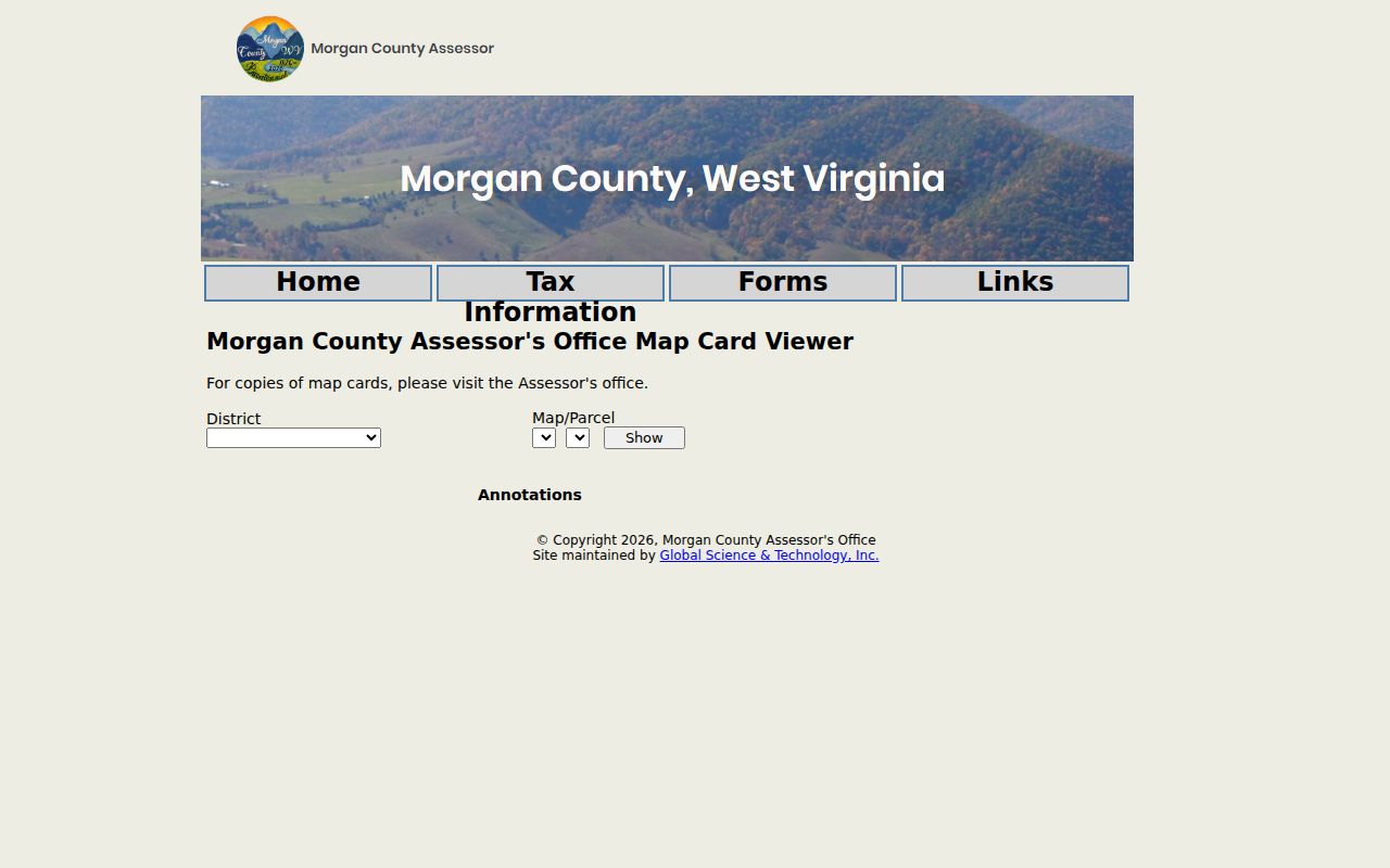
District and Map/Parcel values match assessment result keys.
Morgan County Recorded Plats
The Morgan County Planning Commission handles several plat types. These include exempt, preliminary, final, low-impact, and commercial filings. Its checklists request the owner name and tax district. They also ask for the map and parcel number. A deed book and page is requested too. Those linking fields tie a proposed layout straight back to the tax parcel and the recorded deed. The planning packet often becomes the shortest route. It connects a Morgan County property search to the paper trail behind it. Still, one caution applies. A plat name should be confirmed in the Clerk's record. Do that before anyone treats it as a formal subdivision.
A Sleepy Creek example shows why. The Assessor description reads "DRNS SLEEPY CREEK 2.00AC PT PCL A LOT 1". It points to deed book 156, page 684. That reference is a starting clue. Use it to pull the source deed and any plat it cites. The phrase alone cannot establish a current subdivision. Morgan County property records give the clearest answer. Read the legal description, the tax map, and the approved planning packet side by side.
Morgan County Planning Commission plat checklists spell out the application types and the fields that connect them.
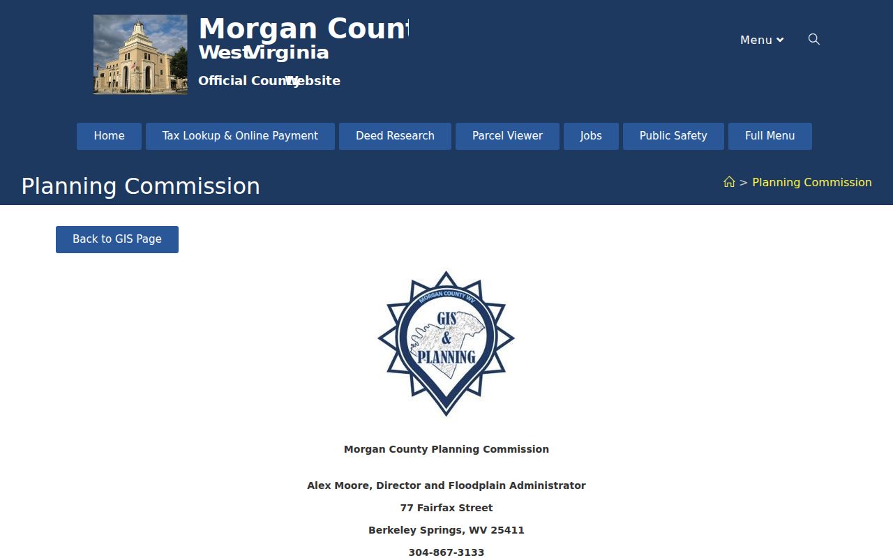
The checklist fields tie each development review to an existing Morgan County tax map and deed reference.
Address History on Morgan County Maps
Morgan County GIS wears several hats. It creates new addresses, and the County Commission approves new roads. GIS also maintains signs on non-state routes. It issues address-verification letters too. Address searching has its own traps. A street search can miss land listed under a route name, an older name, or a historic Bath reference. The Assessor also separates Street Name from Mailing Address. So treat the situs address as the location, and treat the owner mailing address as a tax-contact field only.
Place names add another layer of confusion. Berkeley Springs and Bath point to the same incorporated-place history in the Census roster. "Berkeley Springs Corp" is just an Assessor district label. Paw Paw's ZIP and municipal map draw no parcel boundaries either. When a road name, postal city, and town limit seem to clash, start with the county address record and the tax parcel. Then compare the deed or survey before trusting any single map.
What Morgan County Map Lines Cannot Prove
Every line on a Morgan County GIS map carries a limit. The county compiles its data from deeds, plats, and public records for inventory purposes. The statewide Viewer states plainly that tax parcel geometry is a best-fit representation. It is not conclusive proof of a legal boundary. A parcel outline can still guide a site visit. It can also point to the right deed record. It cannot settle an encroachment, an easement, or a lot-line fight. For those calls, read the deed and plat. Bring in a licensed surveyor when the exact ground location matters.
Not a survey. Morgan County parcel maps are tax and inventory tools. Use a licensed survey for construction, purchase, or boundary decisions that require exact lines.